|
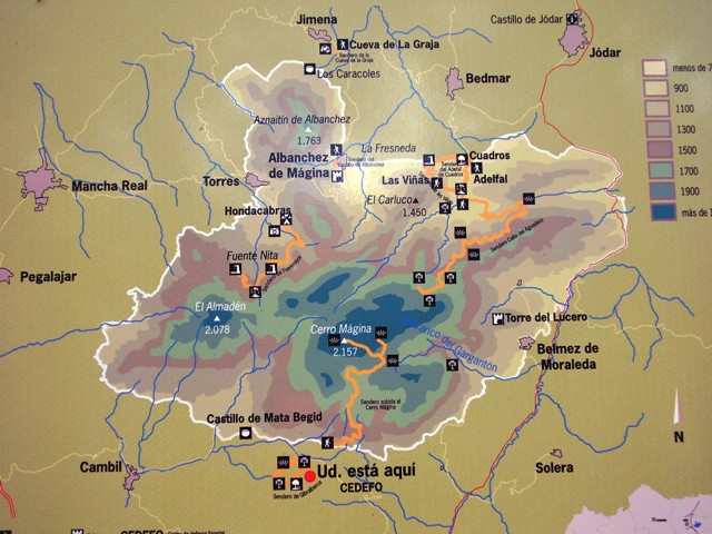
Download map
of the Sierra Mágina Natural Park (pdf)
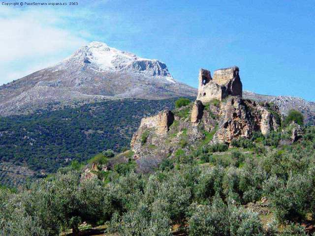
The Natural Park of Sierra Mágina is
placed in the South of the province
of Jaén, in the geological border
that the Baetica Chain (Cordillera Bética) and the Guadalquivir Valley
establish. Here you can find the highest massif in this province (the Mágina
peak, 2.167 metres
high) and the third higher one in Andalucía , after Sierra
Nevada and Sierra de la
Sagra.
The Natural Park of Sierra Mágina
is built by several mountain ranges. All this area ( especially the zone
which was declared “Protected area” ) has a very rough terrain
with hard slopes which ,sometimes, are changed into vertical rock faces of lime
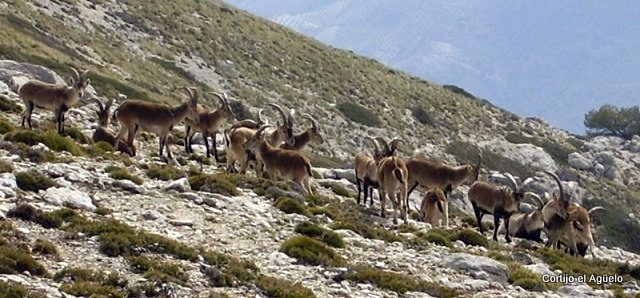
rock and they are suitable places for the refuge and life of species which
have exceptional importance such as birds of prey or the wild
goat. In this way, its characteristics species have turned this place into
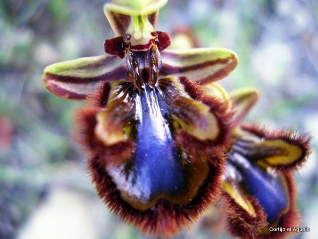
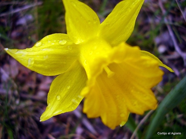
an ideal habitat for many floral species ( more than 1.200 different
ones have been catalogued), some of which are exclusive of this zone
such as the “Jurinea frontqueri”.
This difficult orography has rebounded directly on the good
conservation of its ecosystems, due to the high degree of inaccessibility
that confers it. Both factors, orography and ecosystem, relief and vegetation,
give Sierra Mágina a high ecological and landscape value , value
recognized deservedly by the Junta de Andalucía that declared it as a Natural
Park the 18 of July 1.989 .
This complicated mountainous formation has supposed the isolation
of the district, favoring its conservation and conditioning the way of its
people's life so that until recent times due to the construction of
inadequate accesses the productive sector has not been diversified basing its
economy exclusively on the primary sector,takind advance of all the resources
that the environment has offered people. Some of the most relevant ones are:
*The esparto, which has been bounded to the industry of the
oil and the elaboration of apparels for the mules and donkeys mainly, even
existent in these places"
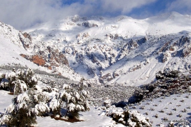
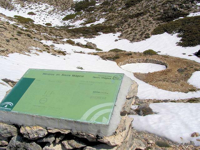
*The snow was one of the main resources to obtain ice some time
ago, and for that reason it was accumulated in some peculiar constructions
denominated "neveros” which were built and used to conservate the
snow in summer.
*The "carboneo"
took advantage of the existent forest masses in the area and by means of this
practice people prepared some wood of this area to be used in winter. Coal is
created by means of this process.
*The elaboration of mill stones for the extraction of oil in
the mills or the production of lime in singular "caleras"
(places where this product was prepare for its use) are examples of very bound
activities to the area and this one, the
same as the previous ones, is disappeared nowadays"
*The cattle breeding has been mainly dedicated to
the upbringing of cattle and goats. This area is one of the scarce places where
two autochthonous races of livestock still exist: the "ojinegra"
(black-eyed) sheep and the Andalusian white goat.
*The agriculture is almost monopolized by the
olive grove at this moment but until recent times it has been very bound to an
economy of subsistence, so you can find wide areas dedicated to the growing of
fruit trees and vegetables in irrigable areas of this zone, taking advantage of
a complex net of canals, legacy of the andalusí period.
Legacy of this times is also the construction of mills that used the energy contributed by a jump of
water to move its machinery. They were used for the mill of the grain and the
production of flour and fodder for the livestock.
|